About Acres: Land Data & Parcel Maps
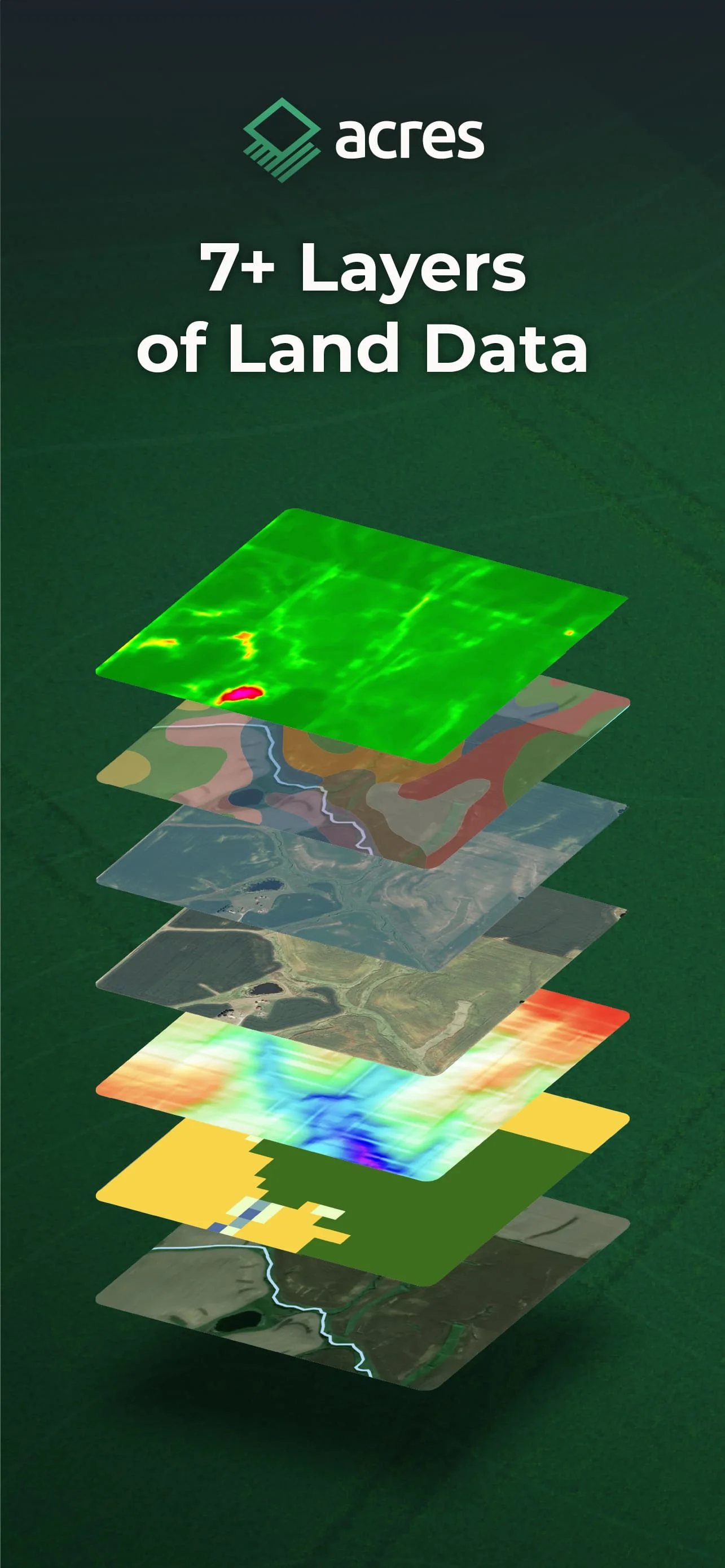
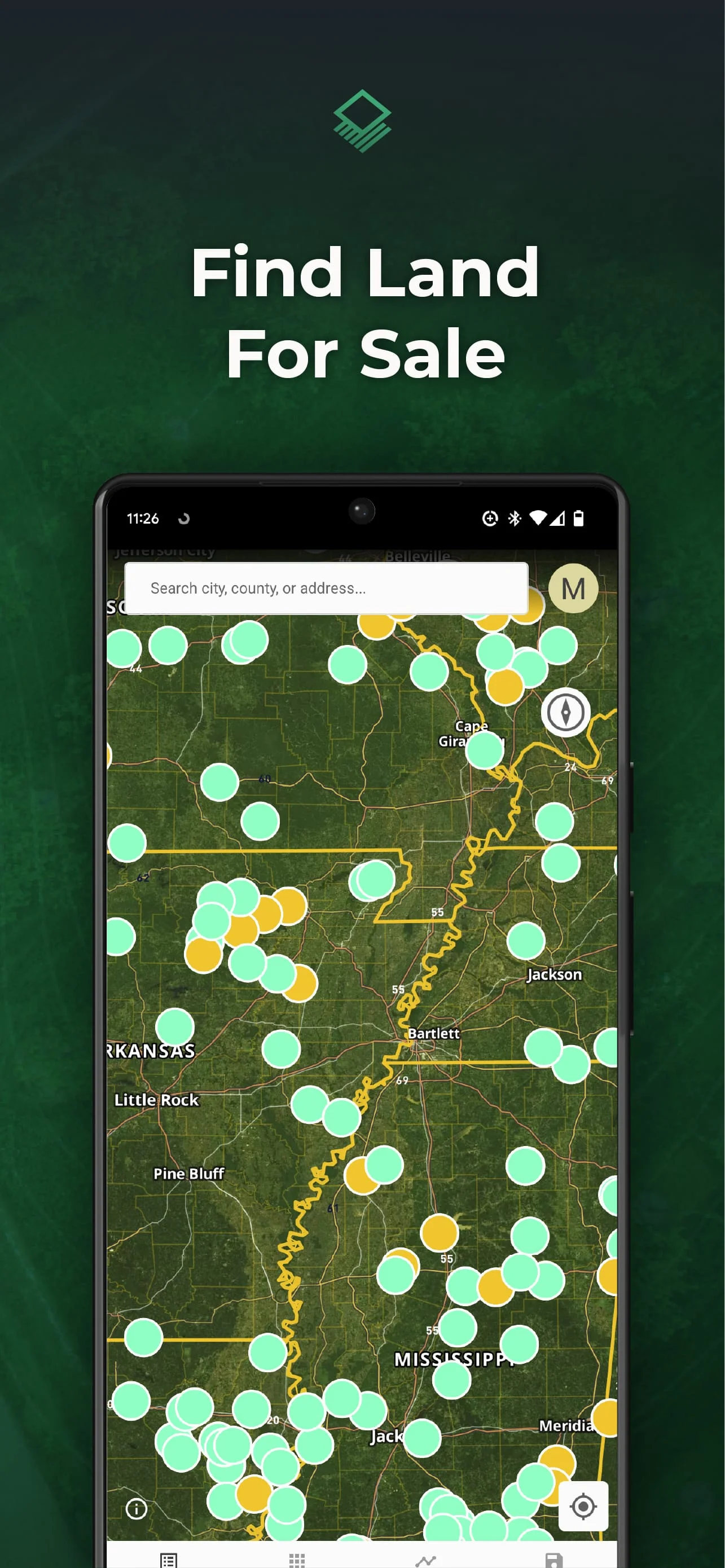
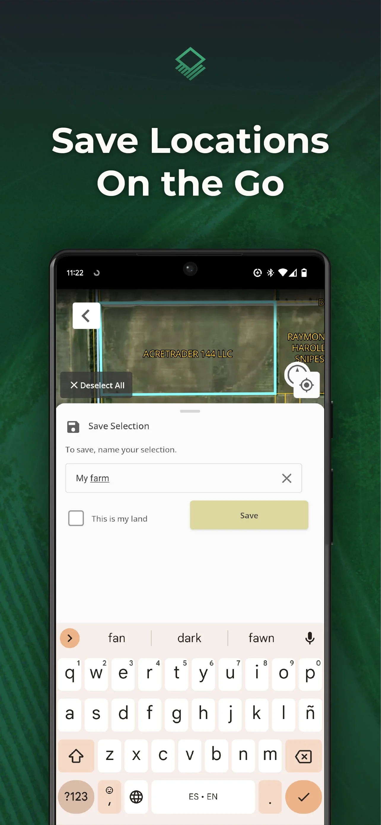
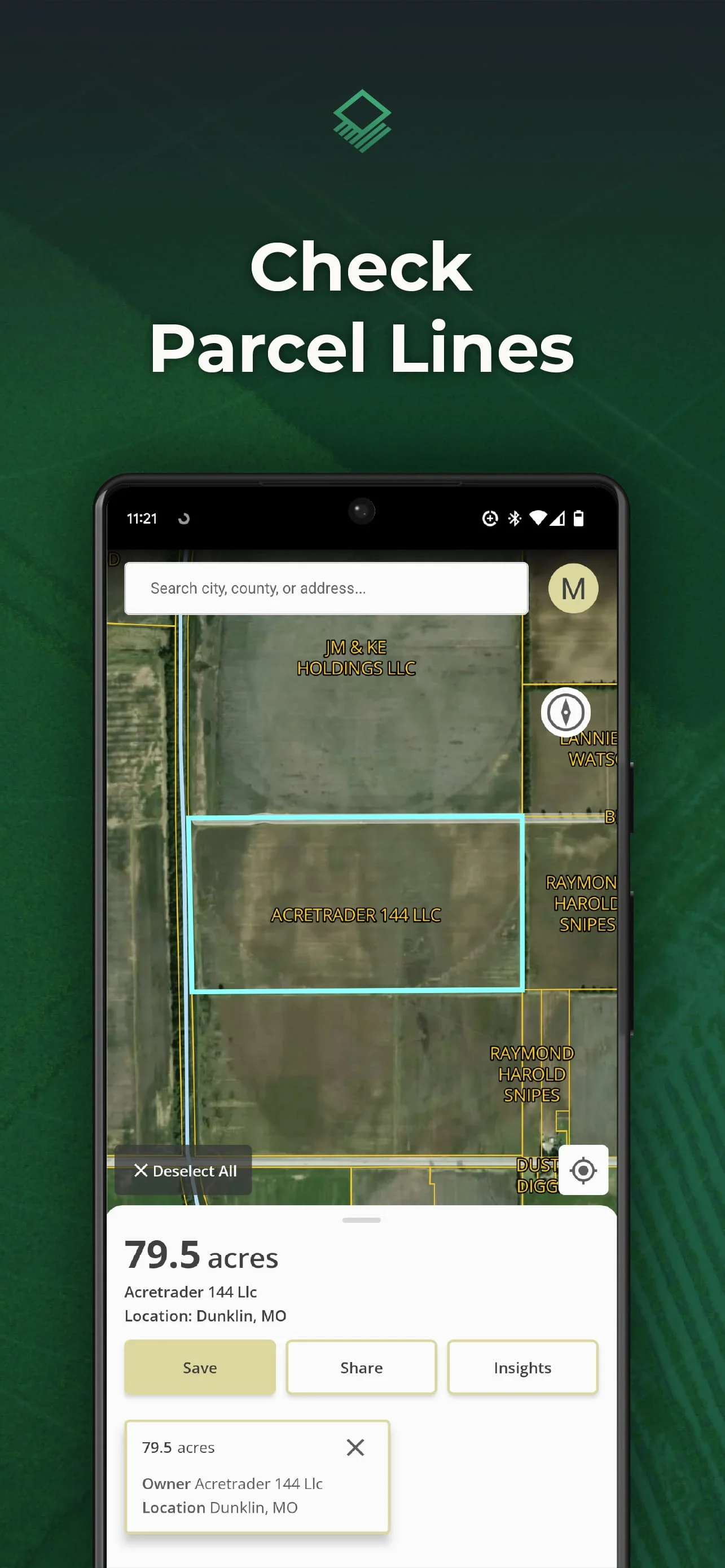
Acres is the ultimate on the go mapping and land analysis tool for landowners, farm managers, land investors, and land real estate professionals. With Acres, property information is transparent and easy to find. Quickly check parcel property lines, owner info, and more while on location. Browse millions of US parcels with + filters, including soil maps, elevation, and crop history. Easily save parcels while on location and share maps from the app. Owner Info: Property owner names (where available). Soil Maps: Soil composition and quality. Elevation: Quickly check the range of elevation. Vegetation Index: Plant health based on light wave reflection. Flood: Identify areas that may be at risk of flooding. Crop History: Annual crop coverage gathered via satellite imagery. County Rent: Estimates for cash rental rates for cropland and pastureland. County Yield: Farmer-reported survey data of annual expected crop yields. Property Tax: Recent property taxes where available. Save parcels so you can reference them anytime. Easily share maps and land data from the app. Share your location to access land data on-site. Acres.co is available on the go or on desktop. Check out more features, including custom maps and land for sale, on desktop. Upgrade to Premium on desktop for more features.
V2.5.0
May 22, 2024
com.acretrader.acremapsmobile
Android 4.4+
Everyone
100K+
Similar Apps
Developer
Acres.com
View all apps
Statistics
506
Total Reviews
Intelligently Verified
AI-Powered Security Scan