About onX Hunt: GPS Hunting Maps
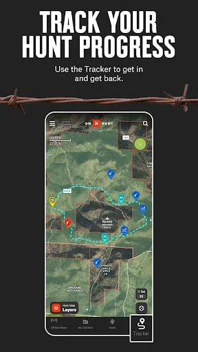
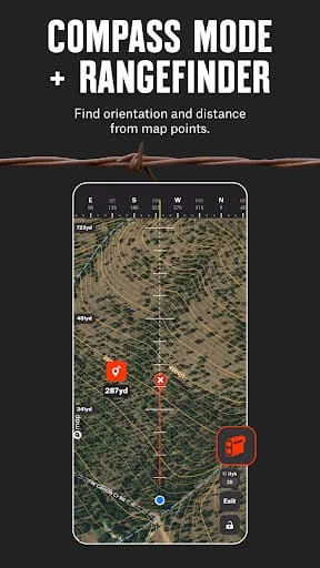
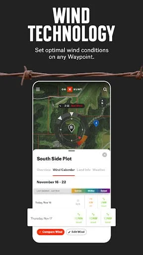
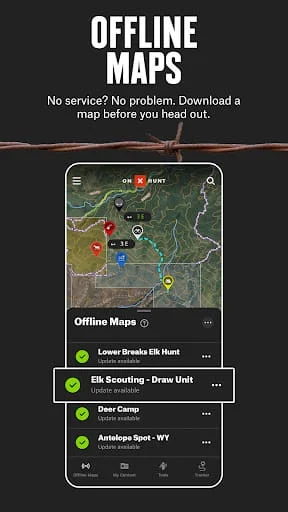
Voted one of the most innovative hunting products of the decade by Field & Stream, the onX Hunt App is the must-have tool for the crews at MeatEater, Mossy Oak, and Realtree Outdoors. Know where you stand with the most trusted and accurate GPS satellite and topo maps. Use onX Hunt as a fully-functioning GPS navigation app on your phone. View private and public property land ownership data, landowner names, and property lines on your custom maps. Easily view hunting units, mountain roads and trails, US topographic maps, and more. While the onX Hunt App and many of its features are free, youll start a free Premium State Membership trial when you install the App. This allows you to try a full-featured Premium State Membership for seven days. The onX Hunt App turns your phone into an outdoor handheld GPS navigator using the built-in GPS to display your location on the sat / topo map. Cellular coverage is NOT needed as tile-saving technology allows you to save basemaps and layers for offline navigation. DESKTOP MAPS: Memberships also include access to our online Web Hunting Map (www.onxmaps.com/web). With a Premium State Membership, you gain access to our proprietary hunting GPS maps developed by our GIS team. A Premium State Membership costs $. / year. Landowner names with property line maps and land boundaries finder in available counties (U.S. Private land ownership maps may not be available for all counties (U.S. The best tool for the best hunters. Easily scout, plan, and master your hunts for any species in any state for one membership price. Available for $./year or $./month. Have a problem or want to request new features? Please contact us at support@onxmaps.com.
V24.52.0
Jan 7, 2025
onxmaps.hunt
Android 4.4+
Everyone
5M+
Similar Apps
Developer
onXmaps
View all apps
Statistics
19986
Total Reviews
Intelligently Verified
AI-Powered Security Scan